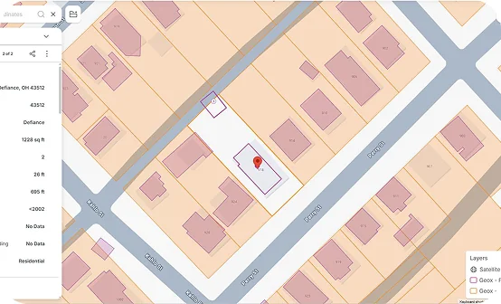










Good

Roof condition

Metal

Roof material

284,500 sq ft

Building area

2008

Year built

AI-Powered property intelligence for smarter risk decisions

Nationwide coverage. Evidence-backed scoring. Instant API access. Built for enterprise insurers.

Trusted by:

  • AON
  • Munich RE
  • Sompo
  • Swiss Re
  • Travelers
  • AIG
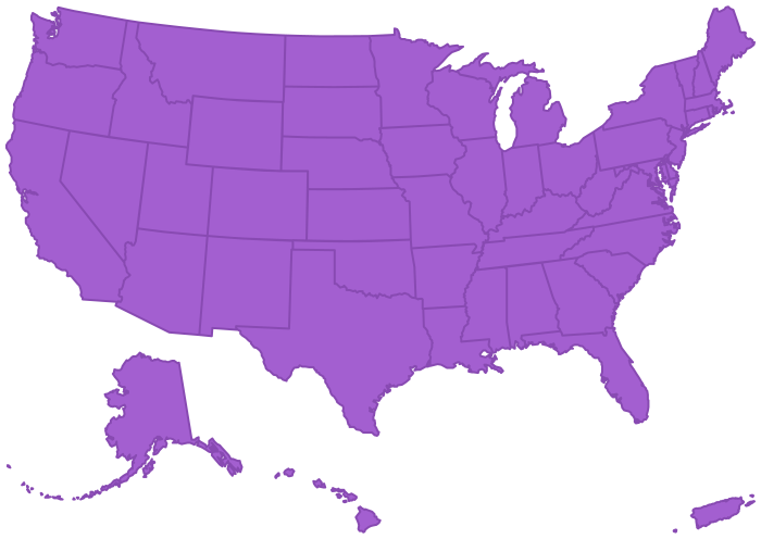
97% Nationwide Coverage
64+ Attributes
186.2 M US Properties

Carriers are pricing risk on data they can’t verify.

Self-reported applications. Outdated inspections. Incomplete records. Most US property underwriting still relies on what the insured tells you - not what the property actually looks like today. The result: mispriced risk, blind spots in your book, and losses you didn’t see coming.

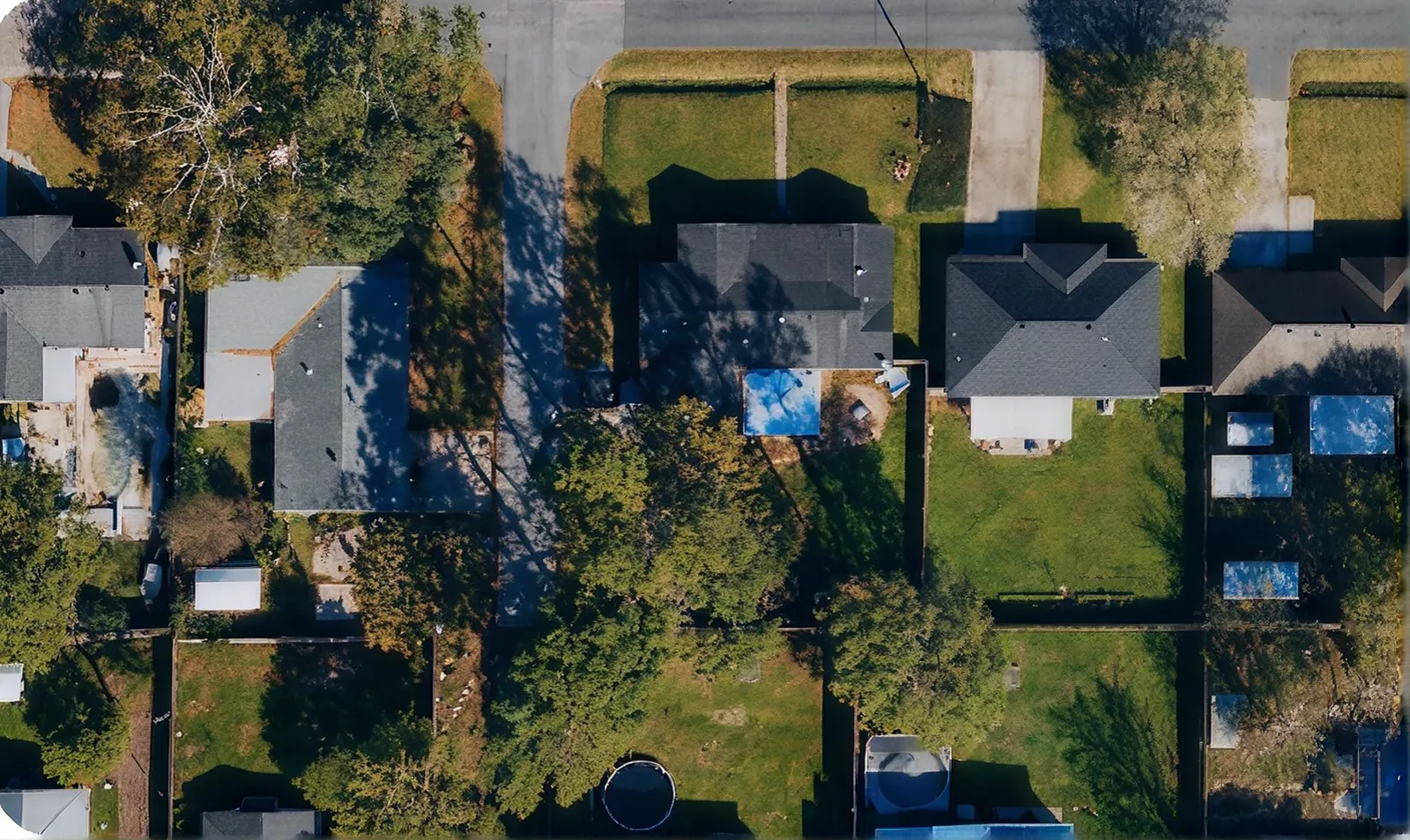
Aerial view of an intact US neighbourhood

The complete US property database.
Pre-processed and ready to use.

GeoX AI turns dated sequences of aerial and satellite imagery into structured, actionable property intelligence - covering every state, every county, every address. No on-demand processing. No coverage gaps. No waiting.

Detect

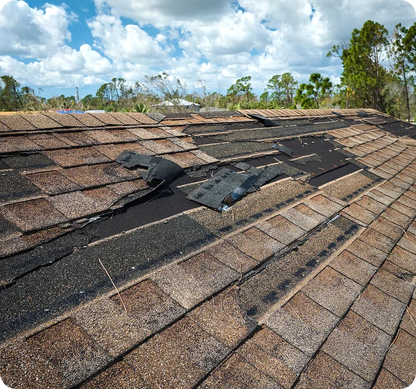
Identify roof damage, vacancy signals, vegetation risk, and structural changes - automatically, at scale.

Aerial view of a damaged shingle roof

Defend

Every score is traceable to specific visual evidence. Audit-ready. Regulator-ready.

Three-dimensional model of buildings with detection layers

Decide

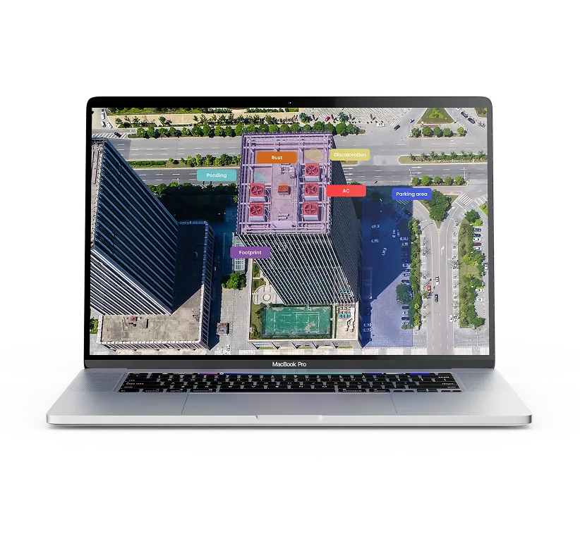
Evidence-backed condition scores give underwriters defensible rationale - not a black-box number.

Laptop showing the GeoX property analysis interface

The data that changes underwriting decisions.

By analyzing various data points, underwriters can assess risks more accurately and tailor their approaches to meet the unique needs of each client.

US Database (USDB)

The foundation. 186.2 million pre-processed US properties with 64+ attributes - including our proprietary 6-point roof condition scale. Delivered via API, batch, or platform. Refreshed quarterly.

Explore USDB

Roof Age

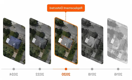
Industry's first AI-derived roof age model. Built on 8-27 dated aerial images per property to detect full replacements vs. minor repairs. Confidence-rated. Evidence-backed.

Explore Roof Age

Built for how you actually work.

Portfolio Assessment

Score your entire book in days, not months. Identify concentration risk: vegetation density, fire response time, coastal exposure, building proximity - all pre-calculated.

Underwriting -
Point of Quote

Analyze every property before you price it. Instant access at quote time because the database is pre-processed. No delays. No coverage gaps.

Renewal & Change Detection

Detect property changes between policy periods automatically. Flag deteriorating roof condition before renewal. Catch the risk before it becomes a loss.

Claims &
Catastrophe Response

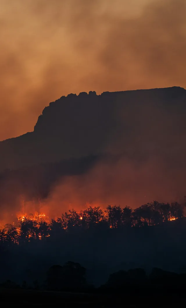
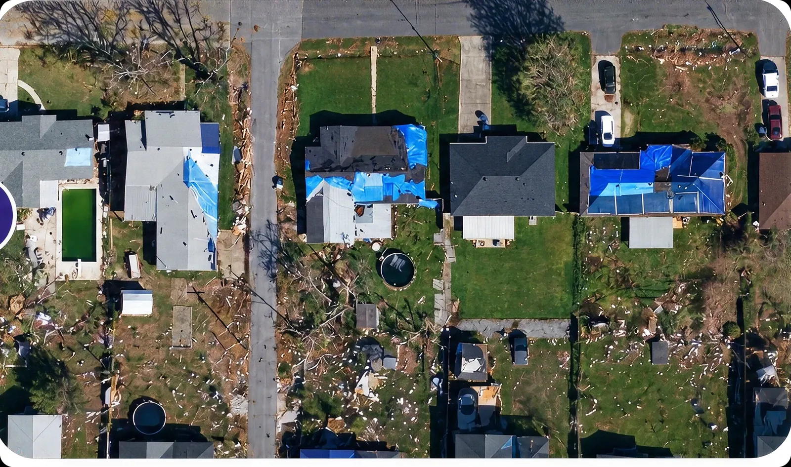
AI-based damage detection post-natural catastrophe. Fast allocation of resources. Before / after imagery comparison within hours of an event.

What makes GeoX AI
different.

GeoX AI turns dated sequences of aerial and satellite imagery into structured, actionable property intelligence - covering every state, every county, every address. No on-demand processing. No coverage gaps. No waiting.

Pre-processed, not on-demand

Every property is already analyzed. Your team gets answers in under a second - no waiting for imagery to be captured or processed on the fly.

Evidence-backed, not black-box

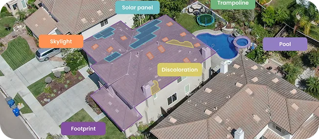
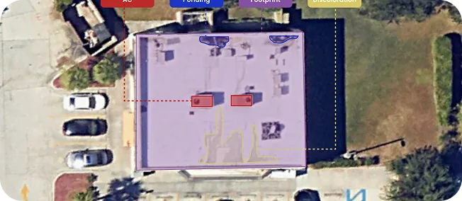
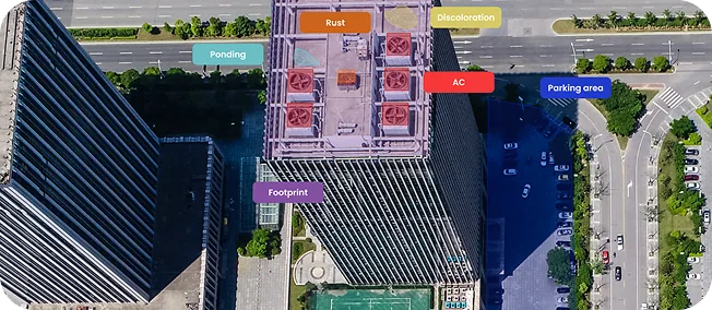
Each condition score links to clear visual evidence: rust, ponding, discoloration, or tarp. Underwriters can pinpoint why a property was flagged and justify their decision.

Complete, not partial

97% nationwide US coverage including rural. No blind spots. No "data not available" responses. Every address in your book, covered.

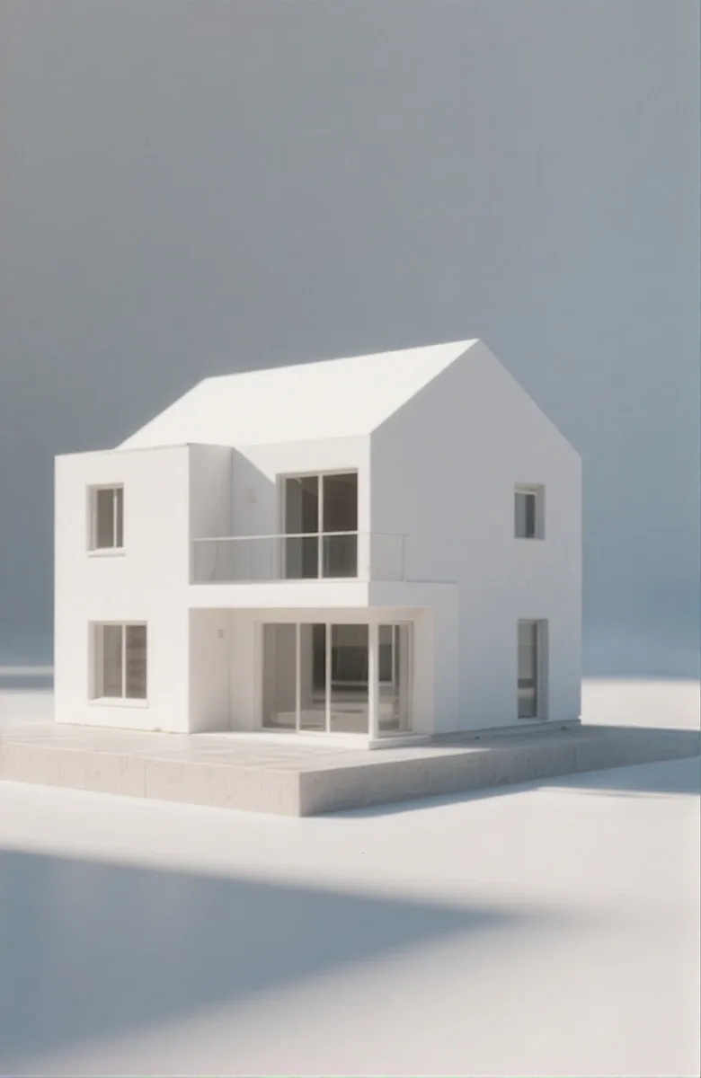
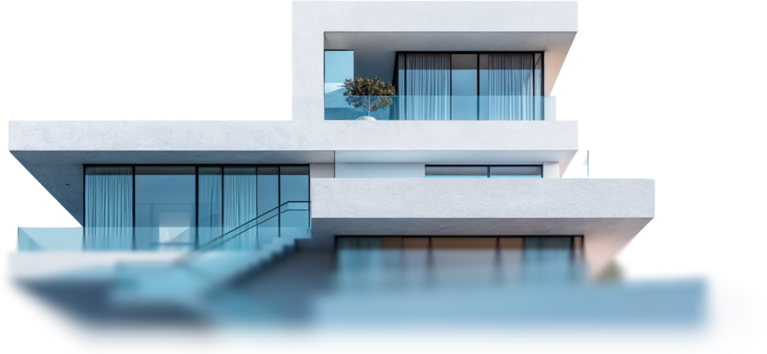
Model of a house

64+ attributes.
One API call.

  • Building data Footprint area, year built, occupancy, stories, square footage
  • 3D Data Building height, ground height, number of stories, commercial square footage
  • Roof data Condition (6-point scale), material, type, rust, ponding, discoloration, tarp evidence, solar panels
  • Environment & exposure Distance to coast, water body, fire station, building proximity
  • Vegetation & defensible space Tree overhang, distance to vegetation, tree/shrub density, defensible space score

From imagery
to intelligence in four steps.

1

Acquire

High-resolution aerial and satellite imagery across all 50 US states. Updated quarterly.

2

Process

Proprietary AI/ML models extract 64+ attributes from every property - roof condition, vegetation, structure, exposure.

4

Deliver

Pre-processed and ready. API for real-time lookups. Batch for portfolio analysis. Platform for visual exploration.

3

Validate

Every score is evidence-backed and traceable. No black boxes. No unexplained outputs.

Testing GeoX AI against another vendor showed a clear accuracy advantage, giving us the validation to move forward.
Randall Graham Regional Underwriting Manager, SC Farm Bureau

24.9M

properties within 3 ft of a neighboring structure

168.2M

buildings have vegetation within 5 ft

53.2%

of US buildings carry at least one risk flag

Fits your workflow.
Not the other way around.

Talk to sales

Real-time API

Sub-second response for point-of-quote decisions. RESTful. Documented. Production-ready.

Batch delivery

CSV / GeoPackage for portfolio-wide analysis. Integrates with existing analytics pipelines and CAT models.

Platform access

Visual property exploration with historical imagery timeline, condition overlays, and report generation.

AI-Powered Property
Intelligence. Ready Now.

186 million US properties. 60+ attributes. Evidence-backed. Pre-processed. See it for yourself.